Kangaroo Bay Hotel - Development Assessment Panel's decision
The Development Assessment Panel has granted a permit for the Kangaroo Bay Hotel. Thanks to submissions from Clarence City Council, Bicycle Network Tasmania and SPLH, the approved design includes a wider foreshore path and a safer, more direct route for commuter cyclists.

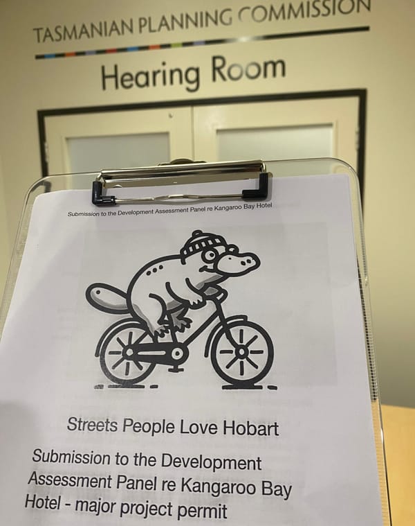
Since our representation to the Tasmanian Planning Commission in July, we were notified in October that the Tasmanian Planning Commission's Development Assessment Panel, comprising Pam Allan (Chair), Michael Hogan, Alex Brownlie and Jamieson Allom, have granted a permit for Kangaroo Bay Hotel.
Thanks to a combination of submissions from Clarence City Council, Bicycle Network Tasmania and Streets People Love Hobart, there are two improvements to the design for pedestrians and cyclists.
However, the most relevant extracts from pages 9 and 10 of the report (our added subheadings are in bold, and additional comments in italics), are provided below:
-
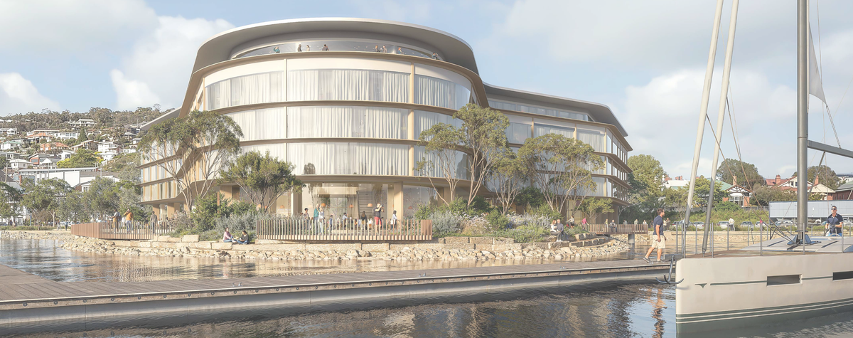
The proposal includes three publicly accessible accessways through the site – a shared path around the foreshore linking existing shared paths, a promenade through the building, and a vehicular access and pedestrian path through the carpark. In addition, there is a landscaped plaza publicly accessible from Cambridge Road with pedestrian access down to the site. The Panel considers these accessways provide good permeability of the site, connect adjacent spaces, and provide for variability and choice in how people move through the site.
The Panel considers the landscaping, Aboriginal art and storytelling, seating and viewing areas proposed for the public spaces are well considered and will encourage people into the spaces. The Panel considers that the public space on the point of the site is particularly likely to be well utilised.
Access for cyclists
Through representations and at the hearing, concerns were raised about the adequacy and safety of shared pedestrian and cycle paths. In particular, multiple representors and City of Clarence’s traffic expert considered the proposed 3m wide foreshore shared path should be increased to a minimum of 4m to align with Tasmanian Cycling Infrastructure Design Guide and provide for user safety.
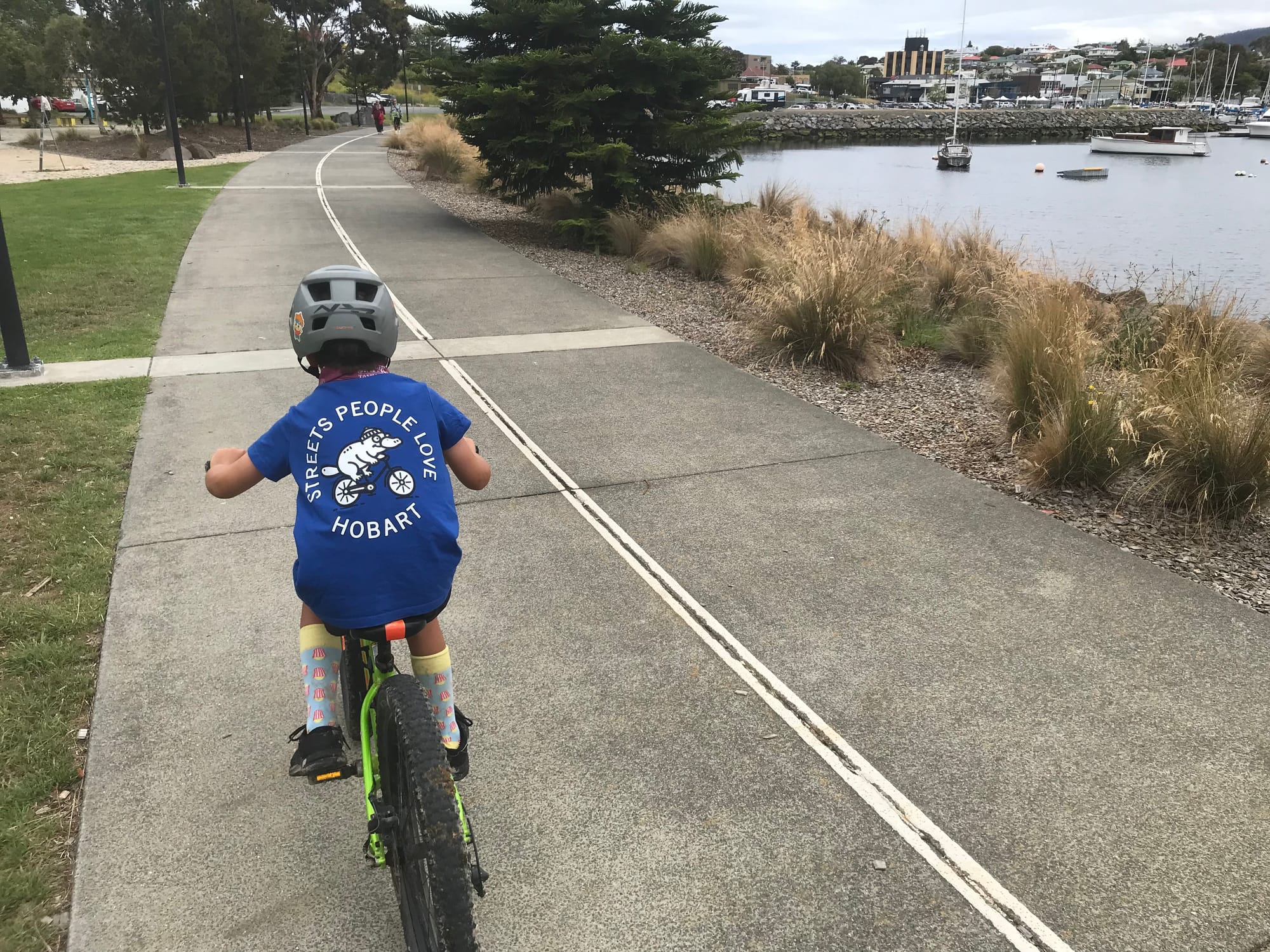
The proponent’s traffic and landscape expert contended at the hearing that a 4m path could reduce safety as it may encourage a higher speed cycling environment* not conducive to the mix of users in that area. The proponent, in its closing submission, proposed that the shared foreshore be increased from 3m to 3.5m. The proponent confirmed a slower cycling speed was intended on this shared path, with the expectation commuting cyclists would choose a different route.
* In traffic engineering it is known that the wider the road, the faster people will drive. That concept seems to be incorrectly applied to cycling: people generally ride at a comfortable heart rate and breath rate. When a path is slightly wider they don’t start pedalling harder as it would replicate the same experience as riding uphill (increased heart rate, more puffing).
Outcome 1: A slight increase in width of the foreshore trail (where most recreational riders and walkers will be)
The Panel agrees that a slower speed environment is appropriate along the foreshore shared path given the mix of activities and likely users. In order to signal a change in the riding environment and slow cyclists down, the Panel considers a visual/textural change in the surface treatment of the shared path is warranted. The Panel considers that 3.5m is an adequate width* to reasonably maintain users’ safety, particularly as there are other options for cyclists to move through the site.
*We note this is narrower than the 4m preferred width recommended by State's Cycle Infrastructure Design Guide (4.3.8 Off road path - shared use).
Outcome 2: A safer and more direct route for commuter cyclists
The other primary option for cyclists moving through the site is via the accessway from Kangaroo Drive to the land to the south of the site, which is Crown land currently leased by the City of Clarence and the Bellerive Yacht Club. In the exhibited MPIS plans, the proponent proposed a 2m wide footpath alongside a 6.5m wide vehicular access in this location, separated by parallel parking. In this design, cyclists could choose to travel on either the footpath or the vehicular access. In their evidence provided through the hearing, the City of Clarence’s traffic expert stated that they considered this arrangement to present a significant safety hazard for cyclists due to risk of conflict with vehicles.
One of the proponent’s revised car park plans showed removal of the parallel parking spaces and a 4m wide shared path for pedestrians and cyclists in place of the 2m wide footpath. ..the Panel considers that the 4m wide shared path for pedestrians and cyclists is necessary to provide for an alternative safe route for cyclists. Provision of the shared path necessitates removal of the parallel parking to accommodate the additional path width and to improve cyclist safety. Removal of this parking is also likely to improve the safety of commercial vehicle movements as it increases sight distances for vehicles accessing the building’s loading area.
Both of these have been made conditions of the approval.