Submission to Better Streets for Lenah Valley, North Hobart and Mount Stuart

The City of Hobart recently invited the community to share their vision for the Better Streets project, with the focus on Lenah Valley, North Hobart and Mount Stuart communities. Specifically they asked for feedback on three streets:
- Augusta Road (1.2km from Elizabeth St junction to Greenway Avenue)
- upper Elizabeth Street (the 460m from Federal St to Augusta Road), and
- Commercial Road (the 400m section between the two Elizabeth St junctions).
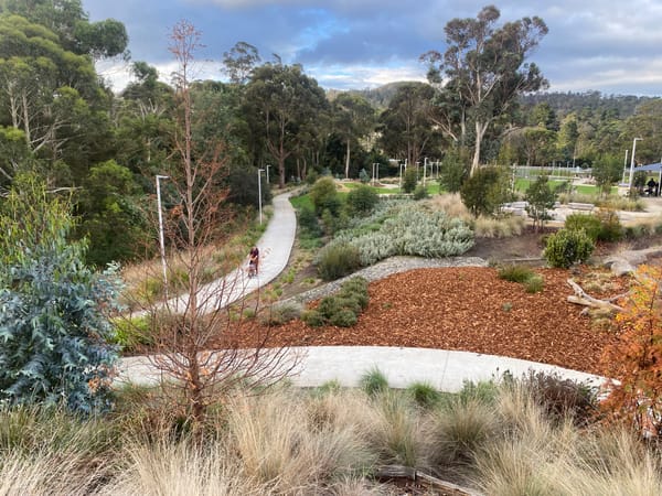
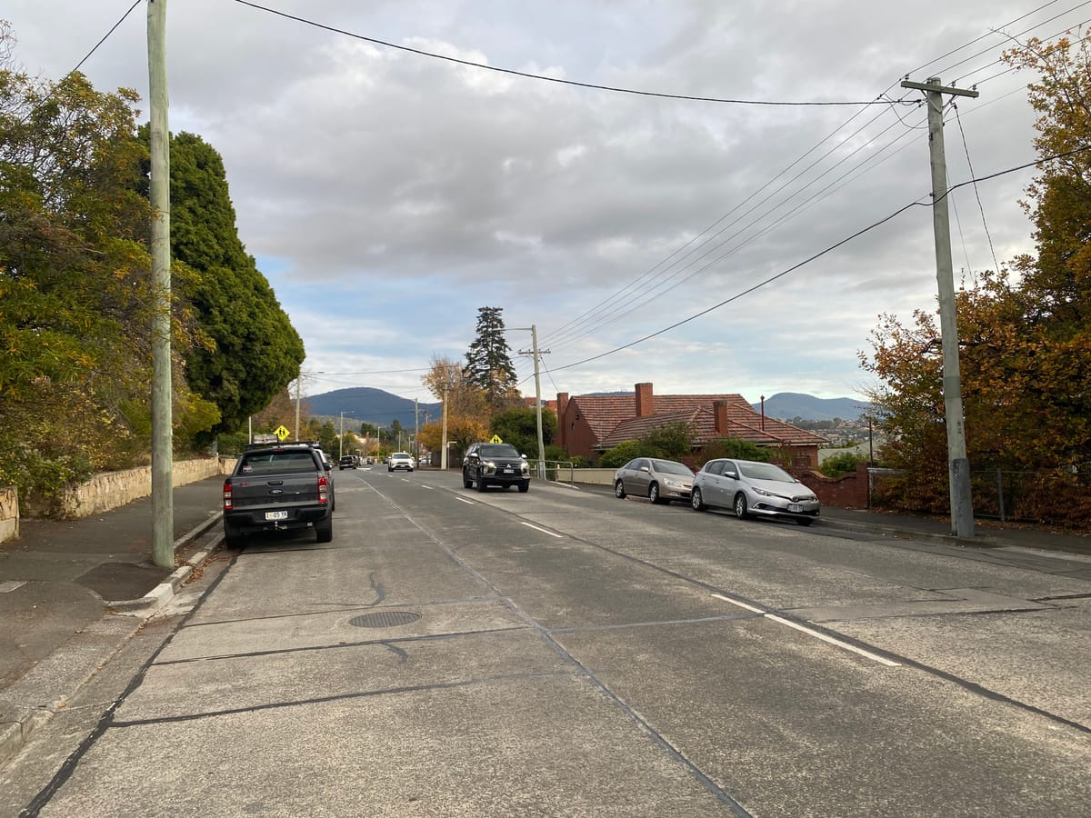
At present these streets serve vehicles well, and offer footpaths but lack any protected space for riding and scooting and have virtually no greenery. There are 12 bus stops, and only three have shelters. There is plenty of street width to share: we see significant potential to provide safer infrastructure, and a more pleasant and calmer street environment.
We were pleased to hear that this is a key strategic project for Council, and has been most recently affirmed through the Northern Suburbs Local Area Mobility Plan (2023), and North Hobart Neighbourhood Plan (2025).
As Hobart matures as a city, it is vital for the transport network to work for everyone. Our submission, prepared by Ben Clark which was reviewed and submitted on behalf of SPLH, outlines the potential improvements we want to improve amenity, connectivity and safety for the community on a daily basis.
Submission to Better Streets (Augusta Road and upper Elizabeth St)
5th June 2026
Prepared by Ben Clark.
Reviewed, endorsed and submitted by Hayden Norfolk, Vice President.
Thank you for the opportunity to provide feedback on the Better Streets project, with the focus on Augusta Road and upper Elizabeth Street, and the 400m section of Commercial Road between the two Elizabeth St junctions.
Streets People Love Hobart is a community-led initiative organised by a passionate group of local advocates and supported by many local businesses. Our mission is to advocate for streets that prioritise people, safety, and sustainability. We believe Hobart and population centres across Tasmania deserve vibrant, welcoming spaces where everyone can connect, move, and thrive.
To ensure that Hobart matures as a city, it is vital for the transport network to work for everyone. We are really excited by the potential for this Augusta Road / Elizabeth Street precinct to be the start of a project to significantly improve modal choice for residents in Lenah Valley, New Town, and North Hobart. A number of our members attended the consultation sessions held by Council in May, so that we could better understand the background to this process.
We were pleased to hear that this is a key strategic project for Council, and has been called for in numerous previously endorsed Council strategies, documents and plans such as the Northern Suburbs Local Area Mobility Plan (Endorsed 27/11/2023), North Hobart Neighbourhood Plan (Endorsed 26/05/2025), Principal Bicycle Network (Adopted 2007), Greater Hobart Cycling Plan (Adopted 2019).
Preliminary observations
We have observed these streets throughout various times of day, both on weekdays and weekends, over recent months. Both streets have generous width (average ~19.5 – 21m boundary to boundary, and ~15 – 16m gutter to gutter), however this is largely dedicated for a single use – vehicle transport and parking. There is very limited provision for people to move in an active and healthy way. This is reflected in a Walk Score rating for Lenah Valley of 20.1
We also note that at the last census, 6.5% of the households in the Lenah Valley and Mt Stuart community did not own a vehicle, and 17% of the population were 14 years or younger. Both these cohorts would particularly benefit from a targeted improvement in active transport infrastructure that caters for all ages and abilities (ABS Census 2021, Statistical Local Area 2, Area code 601051028). Pleasingly, the general health of this community is higher than both the state and national averages with 60.4% of residents reporting no long-term health condition. This means many should have the ability to incorporate activity into their daily commute, utility or leisure trips, if the enabling active transport infrastructure is provided.
Public Transport
There are 12 bus stops, three with built shelters, a further three with trees as quasi-shelter, and 6 with neither. All appear to have tactile indicators for visually impaired citizens. Distance between stops varies from 470m (Stops 12 and 13) to 200m (Stops 11 and 12) on Augusta Road. We presume this distance variability may be dictated by sightlines given the roads dips and rises over much of its length, and the Calvary Hospital as a key destination, but it would be worth the project team reviewing.
Walking
Whilst there are footpaths, there are few trees, meaning there is very little shade to reduce reflectivity from the concrete road surface and vehicles. Some median refuges for people who walk are provided, both on Augusta Road and side streets with limited sightlines (notably southern side of Montagu St). Most kerb ramps appear accessible for wheelchairs, prams and mobility scooters.
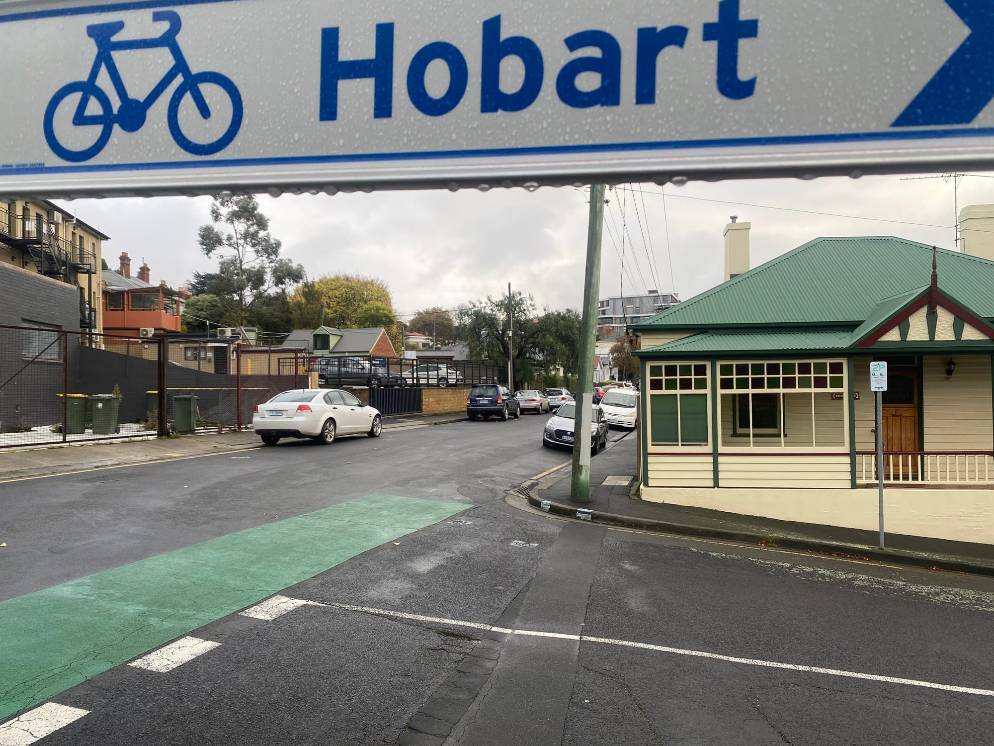
Wheeling and Riding
There is limited safety treatment for people who wheel or ride, apart from a marked “quiet way” (aka ‘shimmy’) via Commercial Road, that has a short section of green paint where it intersects with Yardley St. For the remainder of Augusta Road and Elizabeth St within the study area, it means only the ‘strong and fearless’ cohort 2 are likely to take on this street. This is reflected in the cycle to work rates for Lenah Valley-Mt Stuart being 2.2%.3
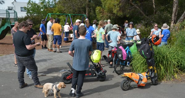
Despite this, there are promising signs, with cargo bikes becoming a more common sight, as parents deliver children to child-care or school, and some continue to their workplace or on errands. Secondary students (Friends School) are regularly seen riding their bikes to and from school, but usually along the footpath rather than on the road - an indicator of their perceived safety in this street.
Key changes that would improve community mobility, amenity and safety
1. Protected bicycle lanes on Augusta Road and Elizabeth St
Most Tasmanians enjoy walking or riding, whether for leisure or commuting, and they want to do it more regularly. We know from recent research that the second most cited motivator for riding more in Tasmania is better infrastructure and safer paths (48%) . By this we mean an “All Ages and Abilities” (or AAA) standard 4, which provides both safety from crash risks and a perception of safety. We also know that this will encourage all people, regardless of age, gender and background, including women, children, seniors, people living with disability, low-income households, various ethnicities, neurodiverse people, and people who are less confident riding, to consider a bike ride for their transport task.
Therefore, we would like these lanes on both sides of the road a minimum 2m width, as per the recommendation of the Department of State Growth’s Cycling Infrastructure Design Guide 5, to allow for the comfort of cargo bikes, and e-trikes (which are becoming popular with senior riders who prefer their stability). A measure such as this would also improve transport choice and safety of staff working at the many institutions and businesses along this route, notably Calvary Hospital, Hill St Grocer, and Friends School.
2. Amenity improvements
The streets would be more pleasant with more greenery. If the separation treatment between the protected bike lane and either vehicle parking or traffic lane is designed well, it could include low level plants. This has been done well as a trial in Collins St, to help delineate the spaces.
3. Bus improvements
Stop 9 (inbound and outbound) both lack shelter, and given their proximity to a number of trip generating destinations (cafe, shops and the Friends School) are worthwhile for installing a new shelter.
If proceeding with protected bicycle lanes, consider whether a floating or platform bus stop would be necessary at each of the existing stops, with a preference to floating bus stops.
4. Riding street treatments in Commercial Road and Yardley St
Whilst these two streets are a signposted cycle route, there is little definition within either street to convey this to other road users. Given the primary purpose of the streets are residential, where through traffic is discouraged, we feel it fits the criteria of a “riding street” 6. This could include the removal of parking from the eastern side of Commercial Road, to enable the provision of a painted bike lane. Given the proximity to Friends School, this will improve transport choice and safety of students, teachers, and support staff.
Finally
We see this project having the potential to offer benefits across a broad range of the community on a daily basis: from the parent riding their child to childcare (and then feeling confident that by mid primary school their child could ride themselves to school), the worker walking to their office, the busy parent needing to get the shopping and being able to safely ride, an elderly resident safely crossing the street.
We are confident that a design centred with our key changes and these outcomes in mind will improve health, community connection, and equity for all residents. We hope our ideas are able to be incorporated, and are happy to talk through them if you wish.
1 — walkscore.com/score/lenah-valley — rating scale is 0–100, where 0 is car dependent for daily errands and 100 is ‘walker’s paradise’ (services in comfortable walking proximity).
2 — as per Fig.1.2, Rider Typologies, Tasmanian Cycling Infrastructure Design Guide, 2025
3 — Method of travel to work on the day of the Census, top responses, ABS Census 2021, Statistical Local Area 2, Area code 601051028
4 — p.4, Executive Summary — Walking & Cycling Participation Survey, Tasmania Report, 2025, Cycling and Walking New Zealand
5 — p. 12, Table 2.1 Recommended widths for lanes and separation from vehicles, and p. 26, 4.3.5 Protected bicycle lane — Tasmanian Cycling Infrastructure Design Guide
6 — p. 24, 4.3.3 Riding street — Tasmanian Cycling Infrastructure Design Guide